Click to download now, finish the installation quickly, and directly unlock the all-round experience
Screenshots
Click to download now, finish the installation quickly, and directly unlock the all-round experience
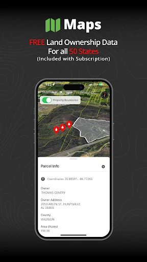
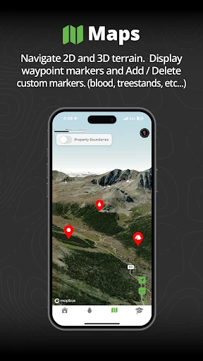
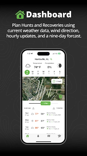
Track N Trail - Hunting & Maps is a sports app for hunters who need help following a blood trail and checking the land around them. Its main purpose is to support the recovery of wounded game, rather than serve as a general-purpose GPS map. The app suits hunters who want visual guidance in the field alongside property information and outdoor conditions.
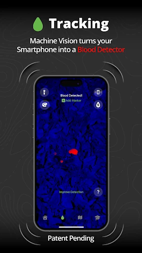
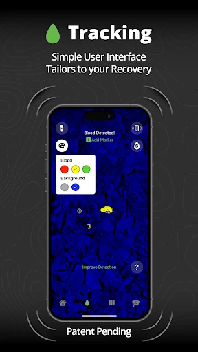
The app uses machine-vision tools to help identify blood against surrounding terrain. It can reduce background colour detail, highlight detected pigments and provide vibration feedback, giving users another way to notice possible signs while moving through brush or uneven ground. Results may depend on lighting, terrain and the phone camera, so it works as an aid rather than a replacement for careful field tracking.
Track N Trail is published by Track'n Trail in the Sports category. It holds a rating of 4.42 out of 5 from 444 ratings, with 10,000+ installs. Those figures provide separate signals about user approval, the size of the rating sample and overall reach, without reducing them to one combined measure.